
Technology powered by experience.
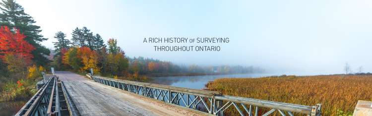
Callon Dietz Incorporated has provided land-surveying services to Southwestern Ontario since 1967. Established as the T.O. Callon Company, the firm became Callon Dietz Incorporated Ontario Land Surveyors in 1991.
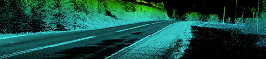
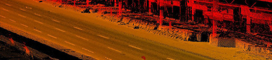
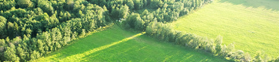
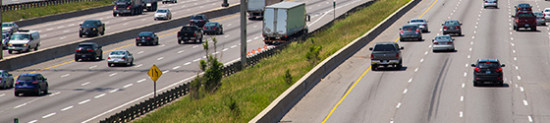
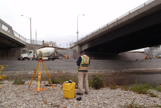
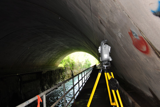
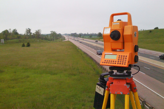
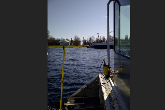
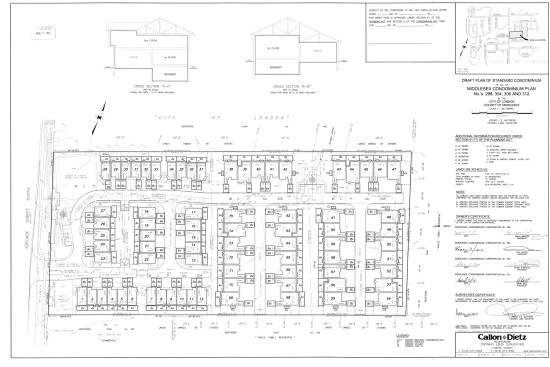
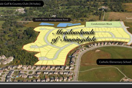
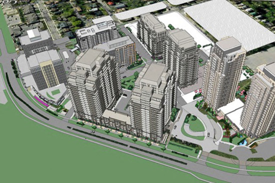
Today, Callon Dietz partners on a wide variety of projects including gas line and other above-ground and underground services, highway reconstruction programs, subdivision and condominium surveys, digital terrain modelling and mapping. While London, Ontario, Canada is our base, we do business across Ontario.
Committed to quality.
By its very nature, surveying is about quality management. That’s why Callon Dietz developed a rigorous quality assurance process that is continually reviewed by external auditors to ensure compliance with ISO quality systems standards.
In 1998, we achieved ISO 9000 certification. Callon Dietz was one of the first in Canada, to achieve this internationally recognized designation.
What does this mean for our customers?
Callon Dietz is registered with the Ontario Ministry of Transportation’s Registry, Appraisal and Qualification System (RAQS). This system registers, prequalifies and tracks consultant performance, determining eligibility to bid for the MTO contracts.
In addition to ISO 9001:2008 certification, An Ontario Land Surveyor directly supervises all work done at Callon Dietz. They check all plans and a regular schedule of field inspections ensures that only the highest quality surveys reach you. We routinely audit all facets of our own practice and hire external auditors to verify our procedures.


No positions available
